Category: Commercial

  • Commercial Zoning Explained: How Business Districts Control Use, Size, and Impact

    Commercial Zoning Explained: How Business Districts Control Use, Size, and Impact

    Commercial zoning explained in plain English comes down to this: if a property is zoned for commercial use, the rules become more complex. It is no longer just about what can be built there. It is also about how that business is allowed to operate and how it will interact with traffic, neighbors, utilities, parking, noise, lighting, and public infrastructure.

    That is where misunderstandings get expensive fast.

    Commercial zoning is not just about the structure itself. It is about the intensity of use and the effect it has on the surrounding area. Two properties that both appear “commercial” can have very different allowed uses, development standards, and long-term value.

    For buyers, developers and business owners that matters early. A site may look like a strong fit on paper, but zoning rules may limit the type of business, the number of parking spaces, the placement of the building, or even the hours a property can realistically operate.

    This article breaks down how commercial zoning works, what it regulates, and the issues you need to understand before purchasing or building on a commercially zoned property.

    What Is Commercial Zoning?

    Commercial zoning regulates land intended primarily for business, service and economic activity rather than residential living or agricultural production.

    The goal is not simply to allow “business use.” Local governments use commercial zoning to concentrate business activity in appropriate areas, manage traffic and parking impacts, separate incompatible uses, support economic growth and protect nearby residential neighborhoods.

    That is why commercial zoning does not mean anything business-related can go in the same spot or area. In most jurisdictions, commercial land is divided into multiple subcategories (like residential) each with its own rules, use limitations and development standards.

    Commercial Zoning Explained by District Type

    While zoning varies from one city or county to another, most commercial zoning categories fall into a few recognizable groups.

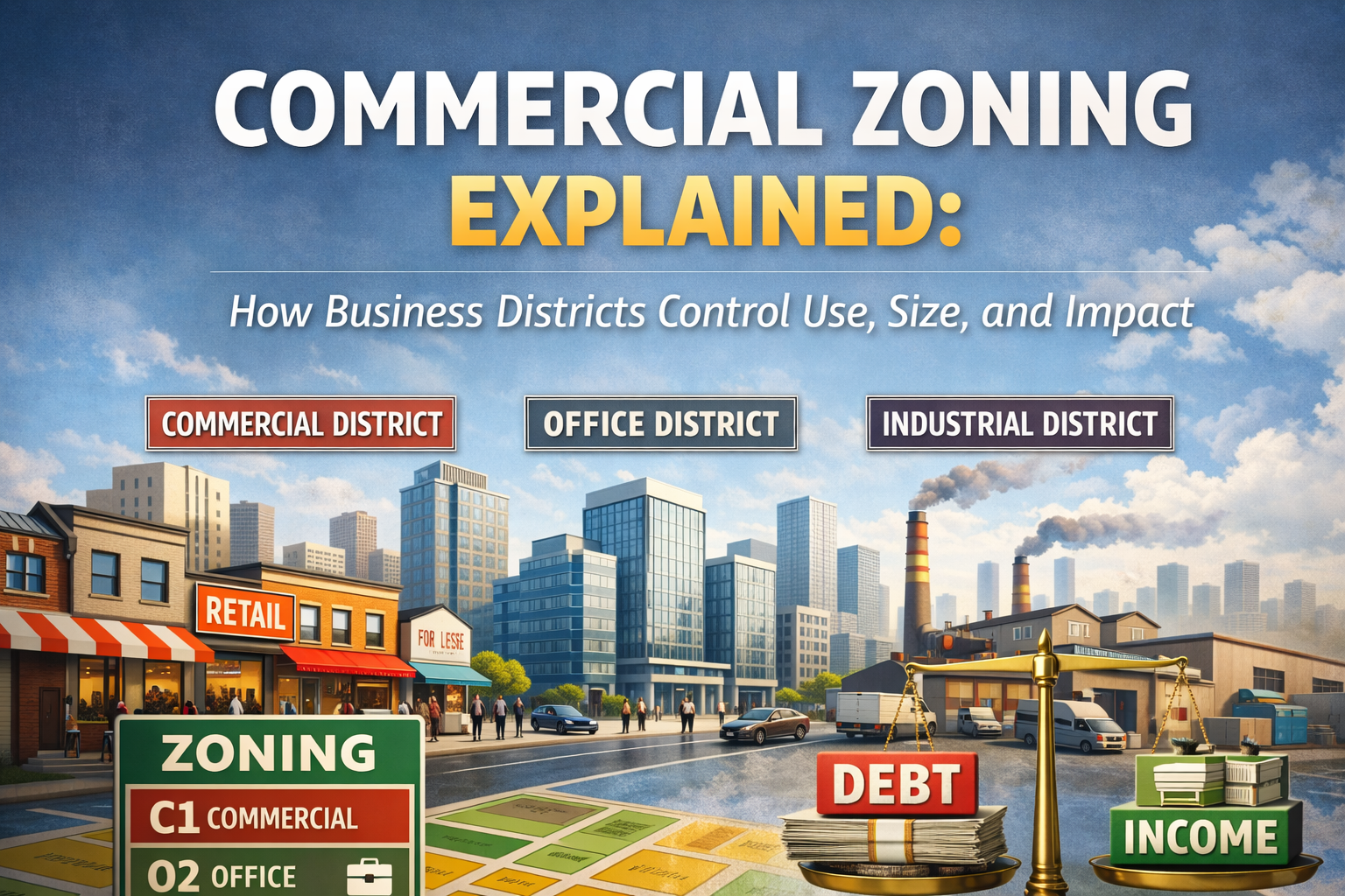
    Neighborhood or Low-Intensity Commercial

    Often labeled C-1, Neighborhood Commercial, or Local Commercial, these zones are usually intended to serve nearby residential areas.

    Common uses may include small retail shops, coffee shops, professional offices, or personal service businesses such as salons and clinics. Because these areas often sit closer to homes, the rules are usually tighter. Drive-throughs may be restricted. Late-night operations may not be allowed. Building size, signage, and operating hours are often more controlled to reduce neighborhood impact.

    General or Community Commercial

    Often labeled C-2, General Commercial, or Community Commercial, these zones typically allow a broader range of business uses.

    Larger retail stores, restaurants, medical and dental offices, banks, and service businesses are often found in these districts. At this level, traffic generation, parking requirement and access management become major factors. A property may be commercially zoned, but that does not automatically mean every commercial use will be approved the same way.

    Heavy Commercial

    Often labeled C-3, Heavy Commercial, these zones are designed for larger-scale, auto-oriented and higher-traffic uses.

    Hotels, motels, big-box retail, gas stations, auto sales, auto service, and large restaurants or franchise uses often fall into this category. These districts may allow larger buildings, more signage, and extended hours, but they also tend to require more extensive parking, circulation planning and traffic review.

    What Commercial Zoning Regulates

    Commercial zoning controls far more than whether a building can sit on a parcel. It regulates how the site functions, how intense the use can be, and how the property affects the public realm around it.

    Permitted Uses and Use Intensity

    One of the most important parts of commercial zoning is the use table.

    Zoning codes typically categorize businesses into uses allowed by right, uses requiring a conditional use permit and uses prohibited. That distinction matters because two businesses that sound similar in everyday conversation can be treated very differently under zoning rules.

    A small retail shop and a restaurant, for example, may both sound like normal commercial uses. In reality, a restaurant may trigger increased parking demand, increased waste-handling requirements, increased delivery activity and longer operating hours. In commercial zoning, use intensity matters almost as much as use type.

    Parking Requirements

    Parking is one of the most restrictive parts of commercial zoning.

    Requirements are often based on square footage, seating capacity, number of employees or the exact type of business operating on the site. A property can be physically attractive and structurally sound but still become difficult to use if it cannot meet parking standards for the intended tenant or owner.

    Insufficient parking can delay approvals, require shared parking agreements, limit future tenant changes, or reduce resale value. In some cases, a building is not functionally obsolete because of its structure or the site cannot meet modern parking requirements for the use.

    Building Placement and Setbacks

    Commercial zoning also controls where a building can sit on the lot.

    Setbacks may apply to streets, property lines and adjacent residential areas. When a commercial property borders a neighborhood, the zoning code often requires more separation. That may include increased setbacks, landscaped buffer yards, fencing, walls or screening to reduce noise, lighting and visual impact.

    Height and Massing Controls

    Commercial districts often allow more height than residential zones, but height is still regulated.

    Height limits may increase with distance from residential neighborhoods, tighten near residential edges, or be affected by airport overlays, view corridors or other planning restrictions. In many cases, it is not just the number of stories that matters. Building mass, setbacks and overall scale can also shape what is allowed.

    Lot Coverage and Floor Area Ratio (FAR)

    Commercial zoning often uses floor area ratio, or FAR, to control development intensity.

    FAR affects total leasable area, project feasibility, return on investment and future expansion potential. A higher-FAR parcel may support far more value than a similar-looking property in a lower-intensity zone. On the other hand, a low-FAR site can quietly cap development potential even when demand for the location is strong.

    For investors and developers, this is where zoning starts to affect land value in a very real way.

    Traffic, Access and Site Design

    Commercial properties generate traffic and zoning rules reflect that reality.

    Many sites are subject to regulations around driveway spacing, ingress and egress, cross-access, circulation patterns, traffic impact studies or road improvements such as turn lanes and signal work. A zoning district may technically allow a use, but poor access design can keep a project from moving forward smoothly.

    That is one of the biggest differences between simply reading a zoning label and truly understanding a site.

    Easements and Utilities in Commercial Zones

    Commercial properties often contain more site constraints than buyers realize at first glance.

    Utility corridors, drainage easements, access easements, shared driveways and cross-access agreements can all affect layout, buildable area and future flexibility. 

    Do to commercial sites often maximizing lot use, these constraints can significantly reduce usable square footage or complicate redevelopment plans.

    Commercial Zoning Near Residential Areas

    One of the most sensitive zoning transitions is where commercial and residential districts meet.

    In those cases, zoning often imposes reduced height limits, increased setbacks, stronger landscaping buffers, and tighter restrictions on lighting, noise and hours of operation. That means two commercially zoned properties can have very different development potential depending on what surrounds them.

    A commercial parcel on a busy corridor may support a much more intense use than a similar-sized parcel located directly next to homes. The zoning label may look the same, but the practical outcome may not be.

    Common Misconceptions About Commercial Zoning

    Many costly mistakes in commercial real estate start with assumptions that sound reasonable but do not hold up under review.

    One of the biggest is the belief that commercial zoning means any business is allowed. It does not. Use lists are specific and many are more restrictive than buyers expect.

    Another common mistake is assuming that if one business works nearby, another similar business will work on the next parcel. Not necessarily. Parking ratios, site layout, access, adjacency and use intensity can all change the answer.

    It is also a mistake to assume zoning approval guarantees operational success. Zoning may allow a use, but it does not guarantee that the project is practical, efficient, profitable or easy to build.

    Many people underestimate how difficult it can be to convert residential land to commercial use. Rezoning is often political, uncertain and time-consuming.

    Why Commercial Zoning Requires Deeper Analysis

    Commercial zoning affects far more than the label on a map.

    It affects tenant flexibility, parking feasibility, traffic impacts, construction cost, future expansion, long-term property value and investor exit strategy. A site that looks workable for one business may be difficult to lease, resell or repurpose later if the zoning constraints are too narrow.

    That is why zoning mistakes in commercial real estate can turn into six- or seven-figure problems. The risk is not just whether something can be built. The real question is whether the site can support the intended use in a way that is functional, financeable and sustainable.

    For buyers, developers and business owners, commercial zoning should never be treated like a quick box to check. It deserves a closer read before a purchase, a build or a long-term investment decision.

    How Commercial Zoning Fits Into the Bigger Zoning Conversation

    Commercial zoning is where land-use rules start to become more layered.

    It introduces greater complexity, greater regulatory scrutiny and more coordination with public agencies than most residential zoning questions do. It also serves as a bridge to mixed-use districts, planned developments, overlay zones and other advanced land-use frameworks, where the rules become even more detailed.

    Once you understand how commercial zoning controls use, size, intensity and impact, it becomes much easier to judge whether a property is actually a fit for your goals, rather than just commercially labeled in a way that sounds promising.
    If you’re looking at commercial property and want help making sense of zoning, development potentia, or next steps, Sunrise Realty Group is here to help. Reach out to start the conversation.
    Commercial zoning explained in plain English. Learn how business districts regulate use, parking, setbacks, access, and development potential.

  • What the FEMA Flood Map Really Means — and How It Affects Your Property, Loan, and Insurance

    What the FEMA Flood Map Really Means — and How It Affects Your Property, Loan, and Insurance

    If you’ve ever heard a lender, insurance agent, or real estate professional say “according to the FEMA flood map,” you might assume it’s simply a reference to general flood risk.

    In reality, the FEMA flood map is the official flood hazard map used across the United States to determine flood risk, flood insurance requirements, construction standards, and lending decisions. For property owners, misunderstanding what the FEMA flood map shows can affect insurance costs, financing approval, and even the feasibility of new construction.

    For buyers, builders, and landowners, a property’s position on the FEMA flood map can influence everything from required flood insurance policies to foundation design and base flood elevations.

    Let’s break down what the FEMA flood map actually is, who regulates it, how it affects loans and insurance, and what property owners can do if the map does not accurately reflect their property’s flood risk.

    What the FEMA Flood Map Is (Flood Insurance Rate Map – FIRM)

    When professionals refer to the FEMA flood map, they are almost always referring to the Flood Insurance Rate Map (FIRM).

    The FIRM is what’s known as the official flood map of a community used by the Federal Emergency Management Agency (FEMA) to identify flood hazards and determine flood insurance requirements under the National Flood Insurance Program (NFIP).

    These flood hazard maps are the authoritative source used by lenders, insurance providers, builders, and local governments.

    A FEMA flood map (FIRM) is used to:

    • Identify Special Flood Hazard Areas (SFHAs)
    • Assign flood zones (A, AE, AO, VE, X, etc.)
    • Establish Base Flood Elevations (BFEs)
    • Define specific areas with the highest risk of flooding
    • Support risk assessments and flood insurance pricing
    • Guide current development standards for new construction

    The effective flood maps for each community are publicly available through the FEMA Flood Map Service Center, where property owners can search by street address and review their community’s flood risk.

    GIS overlays and local flood hazard layers may be useful planning tools. Still, the effective FEMA flood map remains the official map of a community with legal authority for lending and insurance decisions.

    How the FEMA Flood Map Is Created and Regulated

    The Federal Emergency Management Agency manages flood mapping nationwide as part of the National Flood Insurance Program.

    Federal law requires FEMA to conduct flood insurance studies, analyze water flow, and publish flood hazard maps that reflect a community’s flood risk.

    Flood mapping involves extensive technical work, including:

    • Hydraulic analyses of rivers and drainage areas
    • Detailed analyses of flood patterns and flood waters
    • Measurement of average flood depths
    • Identification of base floodplain elevations
    • Modeling of storm surge and flooding in coastal areas

    This information forms the basis for digital flood insurance rate maps (DFIRMs) and the National Flood Hazard Layer, which integrates flood hazard data across the United States.

    FEMA frequently updates these maps through programs such as Risk MAP, working with local governments, community officials, and Cooperating Technical Partner programs to incorporate improved data and flood hazard information.

    In many communities, updated flood studies include:

    • Sea level rise modeling
    • Changes in drainage areas
    • New rainfall patterns and heavy rains
    • Urban development impacts
    • Revised average depths and water flow calculations

    Because flood conditions evolve, communities periodically receive preliminary flood hazard data or preliminary FIRMs before new maps become effective.

    How the FEMA Flood Map Defines Flood Risk

    The FEMA flood map is designed to identify areas with a measurable probability of flooding.

    The most widely recognized floodplain classification is the 100-year flood, which refers to a 1% (percent) annual chance of actual flooding in any given year.

    Areas inside this boundary are classified as Special Flood Hazard Areas (SFHAs) and represent high-risk flood zones.

    Common SFHA zones on the FEMA flood map include:

    • Zone A
    • Zone AE
    • Zone AO
    • Zone AH
    • Zone VE (coastal high-risk flood zone)

    These zones represent actual locations where flood waters are most likely to reach structures, often requiring more stricter building standards and of course, mandatory flood insurance.

    Zones labeled X represent moderate risk or minimal flood risk areas. While insurance may still be recommended, these areas generally do not trigger mandatory insurance for federally backed loans.

    Flood risk categories are actually based on several key factors, including:

    • Base flood elevations
    • Average flood depths
    • Water velocity
    • Storm surge exposure in coastal communities
    • Flash floods in smaller drainage basins

    Even outside high-risk areas, flood damage remains one of the most common natural disasters in the United States, which is why FEMA encourages property owners to understand their community’s flood risk even when insurance is not required.

    Why the FEMA Flood Map Triggers Mandatory Flood Insurance

    The FEMA flood map is directly tied to federal lending rules.

    When a structure is located in a Special Flood Hazard Area, and the mortgage is federally backed — such as FHA, VA, or many conventional loans — lenders must enforce mandatory flood insurance purchase requirements.

    This requirement exists to protect both homeowners and the federal mortgage system from catastrophic flood losses.

    Flood insurance policies may be issued through:

    National Flood Insurance Program (NFIP)

    FEMA handles the National Flood Insurance Program. For many it still remains the most widely accepted coverage option.

    NFIP policies:

    • Are backed by the federal government
    • Are sold by private insurance companies under FEMA rules
    • Are accepted by all lenders nationwide

    Standard coverage limits include:

    • $250,000 for residential structures
    • $100,000 for contents

    NFIP policies follow consistent underwriting rules tied directly to FEMA flood maps, base flood elevations, and flood insurance rates established through flood insurance studies.

    Private Flood Insurance

    Private flood insurance carriers increasingly offer alternatives to NFIP coverage.

    Private policies may provide:

    • Higher coverage limits
    • Coverage for additional living expenses
    • Expanded protection for basements or detached structures

    However, lenders must confirm that private policies meet federal compliance requirements, which is why NFIP coverage remains the default option for many mortgage lenders.

    How the FEMA Flood Map Affects Property Owners and New Construction

    For property owners and builders, the FEMA flood map influences much more than insurance, especially when planning new construction.

    FEMA flood maps can also help determine:

    • Minimum finished floor elevations
    • Foundation design requirements
    • Use of necessary flood vents
    • Placement of fill material
    • Permitting timelines
    • Appraisal conditions
    • Overall development feasibility

    Construction projects located within high-risk flood zones often require additional engineering review, elevation certificates, and compliance with local floodplain regulations enforced by a local floodplain administrator.

    In many cases, two properties located only a short distance apart may face dramatically different construction costs if one lies inside a base floodplain. At the same time, the other falls outside the official flood map boundary.

    Understanding a property’s flood zone early in the buying process can prevent costly surprises during permitting or loan underwriting.

    How to Use the FEMA Flood Map Service Center to Check Your Property

    Property owners and buyers can review their property’s flood hazard information through the FEMA Flood Map Service Center.

    This database provides:

    • The official flood map for each community
    • Access to digital flood insurance rate maps
    • Historical flood hazard maps and flood hazard boundary maps
    • Flood insurance studies and technical reports
    • Information about the effective date of each map panel

    By entering a street address, users can view the community’s flood map, identify flood zones, and access additional information about floodplain boundaries.

    Can a FEMA Flood Map Be Challenged?

    In some situations, the FEMA flood map may not accurately reflect a property’s elevation or flood risk.

    Property owners may request formal revisions through Letters of Map Change (LOMC).

    Some of the most common processes include:

    • LOMA – Letter of Map Amendment
    • LOMR – Letter of Map Revision
    • CLOMR – Conditional Letter of Map Revision

    These requests most typically require:

    • A certified elevation certificate
    • Engineering analysis
    • Surveyed elevation data
    • FEMA review and approval

    When successful, a letter of map change can remove a property from a higher-risk flood zone, eliminate mandatory insurance requirements, and improve resale value.

    The Bottom Line on the FEMA Flood Map

    The FEMA flood map is the official tool used to identify flood risk across communities in the United States.

    It determines:

    • Which areas are classified as Special Flood Hazard Areas
    • Where mandatory flood insurance applies
    • How properties must be built or elevated
    • How lenders assess flood risk during financing

    For buyers, builders, and property owners, understanding how the FEMA flood map works can prevent delays, unexpected insurance costs, and construction challenges.

    Talk With Sunrise Realty Group About Flood Risk Before You Buy

    Flood zones can affect financing, insurance requirements, and what can realistically be built on a property. Knowing what you’re getting yourself into is a smart move.

    Checking the FEMA flood map early is wise, especially when purchasing land, rural acreage, or property near waterways.

    At Sunrise Realty Group, we help buyers review flood hazard information, understand how it may impact lending and insurance, and look at potential issues before a transaction moves a little too far down the road to turn back.

    If you’re evaluating land or a home purchase and need another set of eyes on the FEMA flood map, reach out to Sunrise Realty Group andwe’ll walk through the details with you.


    Contact Sunrise Realty Group today to discuss your next property purchase with confidence.

    What the FEMA flood map means for property owners. Learn how flood zones affect insurance, loans, construction rules, and more